For farmland, forest and estate managers
Is the land improving, and can you prove it to someone else?
A funder, a buyer or a board will check. We set a baseline across your land from soil samples, biology, chemistry and physics, and satellite and climate data, measure it the same way at every reading, and place each site against soils like it.
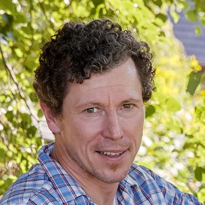
Thirty minutes with Julien Winkel and Norman Gentsch, our Head of Agronomy. Bring one holding you need to report on.
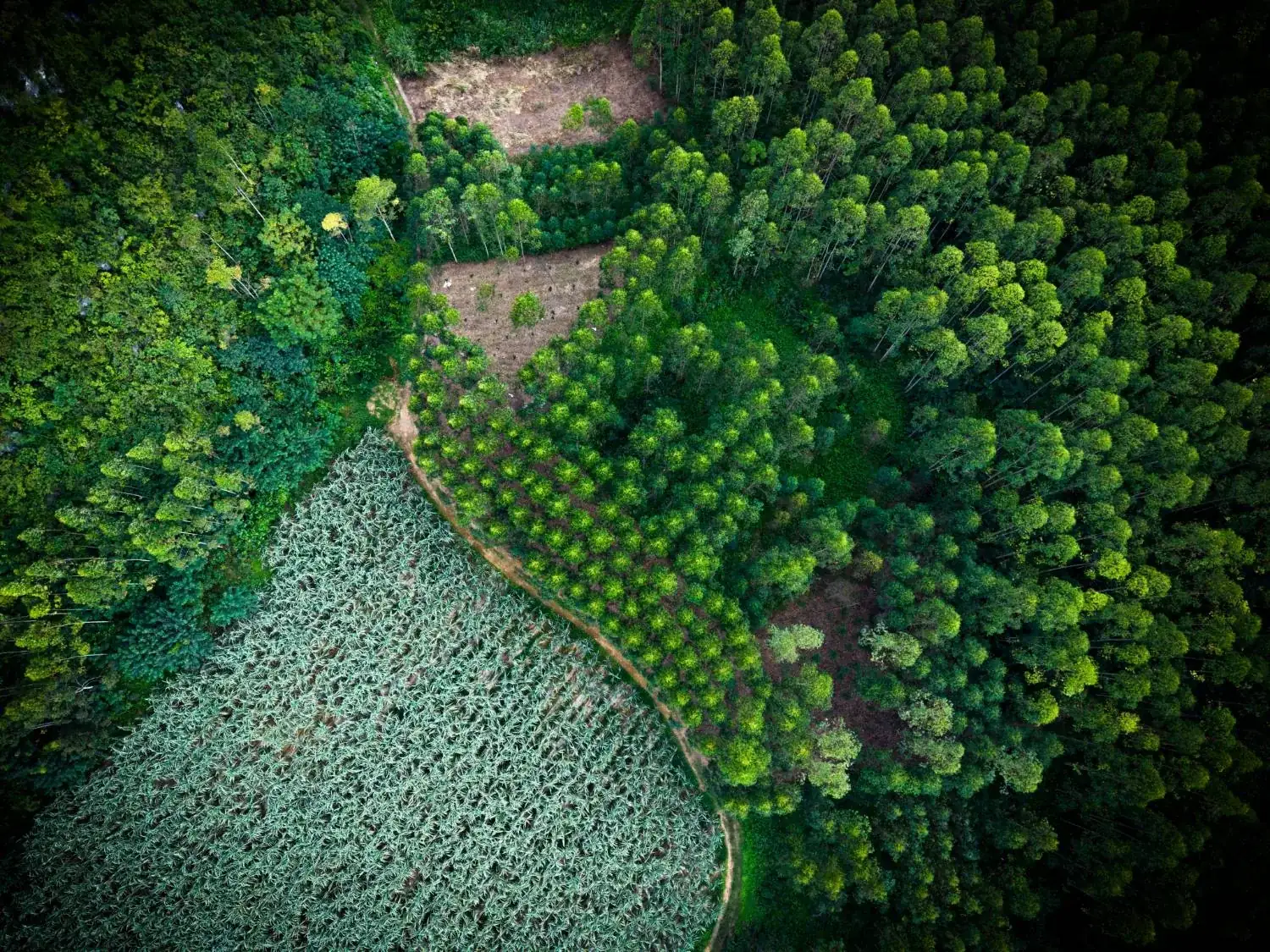
Where every site stands, against soils like it.
A position, never a pass or fail, for carbon and for soil life. At every later reading, whether a site has moved by more than the method's own margin.
- Restored pastureUpper third
- Woodland edgeMiddle third
- Arable block ALower third
Estate soil record · baseline
1,200 ha · baseline reading 2026
14sites
1reading so far
Illustrative| ID | Site | Land use | Soil carbon | Soil biology | Next reading |
|---|---|---|---|---|---|
| E-01 | Restored pasture | Grassland | Upper third | Upper half | Spring 2027 |
| E-06 | Woodland edge | Forest | Middle third | Reference set still thin | Spring 2028 |
| E-09 | Arable block A | Cropland | Lower third | Lower third | Spring 2027 |
E-01Restored pasture
- Land use
- Grassland
- Soil carbon
- Upper third
- Soil biology
- Upper half
- Next reading
- Spring 2027
E-06Woodland edge
- Land use
- Forest
- Soil carbon
- Middle third
- Soil biology
- Reference set still thin
- Next reading
- Spring 2028
E-09Arable block A
- Land use
- Cropland
- Soil carbon
- Lower third
- Soil biology
- Lower third
- Next reading
- Spring 2027
Thirty minutes with Julien and Norman, on one holding you need to report on.
Two per cent soil carbon: good or bad?
It depends on the site. Without a reference, and with a different method each time, a soil number cannot show a trend anyone else will accept.
Numbers with no reference
A report full of soil values cannot answer the question a funder asks: is this land getting better?
A new method every survey
When the sampling or the laboratory changes, part of the change you report comes from the method.
No baseline at purchase
Without a baseline taken when the land was bought, nobody can show what changed under your ownership.
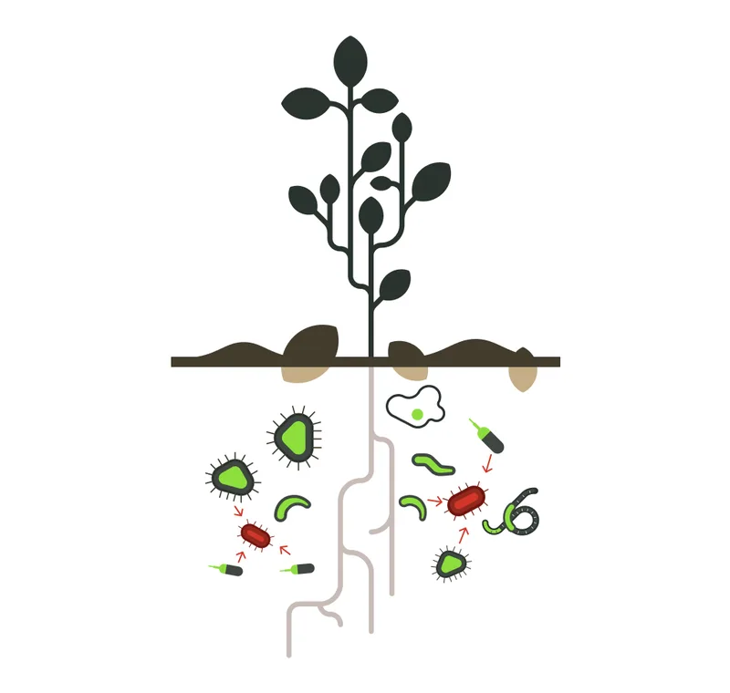
A reference for every result, and the same method each time.
We sample your land once to set the baseline: bacteria and fungi from DNA, with chemistry and physics, at points fixed by GPS. Satellite and climate data cover the whole holding between visits. Erdaphon-1, our model, places each site against comparable soils, matched by land use and, for carbon and pH, by climate and texture. Norman Gentsch, our Head of Agronomy, reads the result with you.
What comes out
Where each site stands against soils like it, and at every reading after, whether it has moved.
Measured the same way each time, so a change is the soil's and not the method's.
The reference
Every result comes with its own reference.
A soil value means something only next to soils like it. Ours are compared with a reference set matched by land use and, for carbon and pH, by climate and texture, and reported as a position, never as a pass or fail.
The reference set behind every result.
- 10,000+reference soils for chemistry and physics, across cropland, grassland and forest.
- 4,000+reference soils for soil biology. Forest is the thinnest part, and we say so.
- 14indicators, each reported as a position against comparable soils.
The estate now has a baseline to measure against.
The challenge
A land manager running nut orchards across Portugal needed a way to track the orchards' soils over time, and to know why yield and quality differed between them.
What we did
Samples from every orchard, sequenced and measured, with satellite and climate data, set against each orchard's records.
What they got
A baseline across the orchards, the soil factors that track much of the difference between them, and a date for the next reading.
What funds and estates ask us first.
5 questionsDo you report carbon stocks or concentrations?
Tell us which your reporting needs. The feasibility check says what sampling each takes for your land.
Can it support TNFD or other nature reporting?
It gives you measured soil data to report from, taken the same way each time. How and whether you disclose is your call; we do not certify against any framework, and we do not issue carbon credits.
How often do you come back?
We agree the interval with you before the baseline. Points are fixed by GPS, so every reading returns to the same place.
Does it work for forestry?
Yes for chemistry, physics and satellite data. Our reference set for forest soil biology is smaller than for farmland, and the feasibility check says what that means for your sites.
What happens after the call?
A call. Thirty minutes on your land and who you report to.
A feasibility check (go or no-go). A small fixed fee. Which sites, how many points, and what the reference set can say for your land uses.
The baseline. Every site sampled at fixed points, and placed against comparable soils.
Every reading. The same points and the same method, so a change is the soil's.
Tell us about your land.
What you manage, what you need to show, and to whom. Julien will reply as soon as he can, with times for a call, and Norman joins it.
You leave the call knowing which sites and how many points a baseline needs, and what the reference set can say for your land uses. If it makes sense, the next step is a feasibility check for a small fixed fee, and it can end in no.

Julien WinkelChief Commercial Officer
Norman GentschHead of Agronomy